Eagles Island Nature Park invites the world to the Cape Fear Region and unites the counties, cities, and communities of southeastern North Carolina through conservation, education, and recreation.
A Once-In-A-Generation Opportunity
Eagles Island first appeared on North Carolina maps in 1671 – known then as Cranes Island. Located at the confluence of the Cape Fear and Brunswick Rivers, Eagles Island has been a vital ecological asset for our riverine system and a centerpiece of the dynamic cultural history of our region.
Eagles Island Nature Park is a once-in-a-generation opportunity to create a world-class park. The timing could hardly be better: the region boasts two of the most rapidly growing populations in the United States with growing appreciation and needs for outdoor experiences.
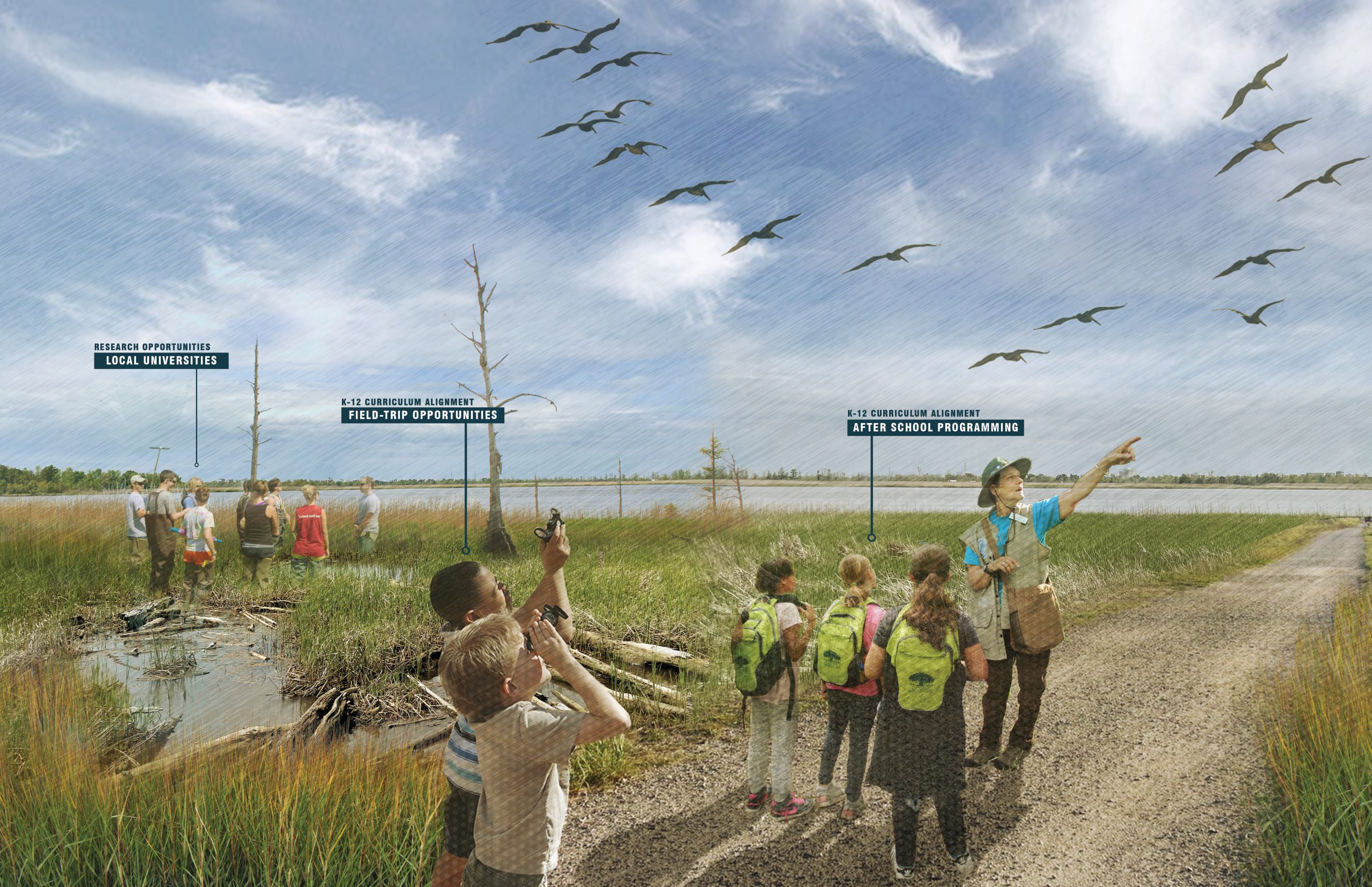
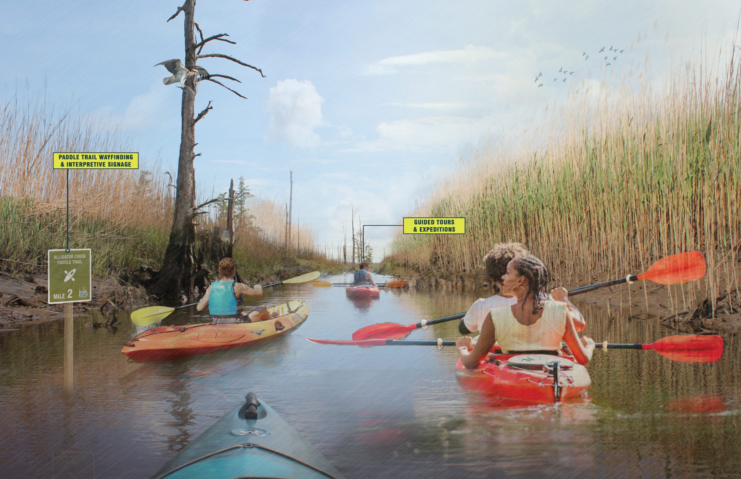
Establishing Eagles Island Nature Park amplifies the area’s brand as a coastal destination that also holds valuable historical significance. Regional residents can access it easily, and it’s also an area that families will travel to experience. Walking paths, marsh boardwalks, bike trails, birdwatching, kayaking, a harbor loop, and an exhibition and education center will commemorate the people and the stories that have shaped a nation.
VISION
Eagles Island Nature Park is the heart of Southeastern North Carolina, connecting its communities and the region through education, recreation, and conservation.
MISSION
We care for the well-being of all at Eagles Island Nature Park. Park amenities, nature trails, and programs will amplify the region’s value, livability, and appeal at a crucial moment in our history.
A World-Class Nature Park
By prioritizing conservation and responsible development of park infrastructure and amenities, Eagles Island Nature Park can provide a transformational enhancement to the educational and recreational resources serving the surrounding communities and the Lower Cape Fear region. Directly adjacent to Wilmington (2020 population: 126,000), as well as northern Bruswick County, one of the fastest growing areas in North Carolina, public access to a natural area of this size will serve local residents as an invaluable amenity and promote cultural and eco-tourism.
Eagles Island Has a Rich Natural and Cultural History
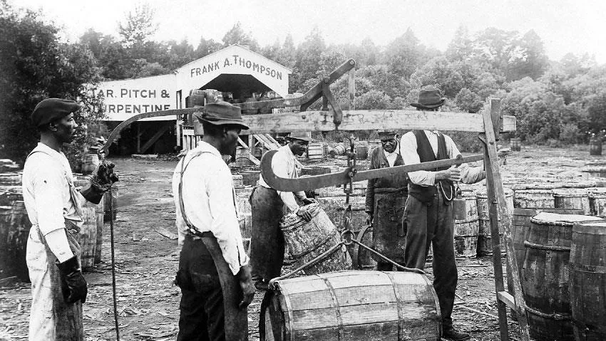
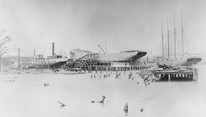
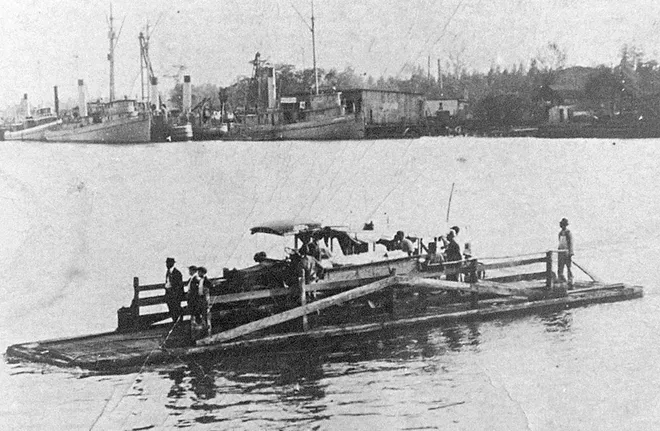
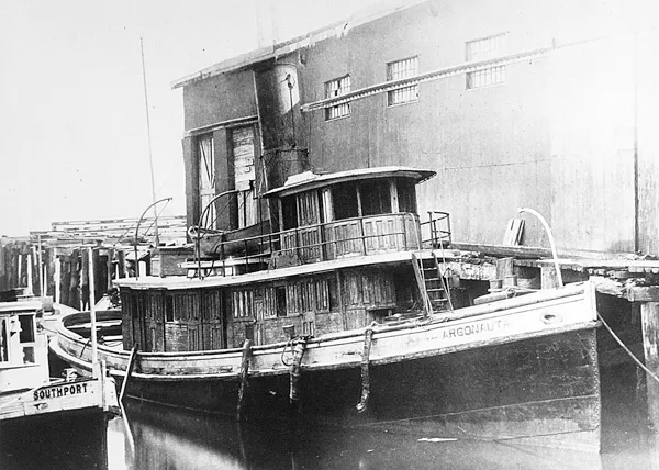
Located between the Brunswick and Cape Fear Rivers, Eagles Island has a rich natural and cultural history, and has played an integral role in the ecological significance, commercial development, and industrial activities of the Lower Cape Fear Region. The approximately 3,110 acre island is located roughly 22 miles upriver from the mouth of the Cape Fear. On the eastern side of the island, downtown Wilmington lies just across the Cape Fear River. On the western side, Belville, Leland, and Navassa are located just across the Brunswick River. Over the years, Eagles Island has supported surrounding populations through the provision of natural resources (hunting, fishing, and timbering) and has seen agricultural (rice) and industrial (naval stores and shipping) uses. Currently, almost 1,500 acres in the southern area of the island are managed by the US Army Corps of Engineers as a disposal site for dredge spoils, and this area is also used as habitat by myriad shorebirds. To the north, where portions of the island are in conservation, the tidal freshwater marsh habitat is designated as a Natural Heritage Program Natural Area, and remnants of hand dug ditches and canals reveal the island’s history as a significant agricultural site for rice cultivation. Sunken and abandoned vessels along the eastern shore of the island tell the story of Wilmington’s economic growth and industrial past.
While the environmental conditions, artifacts, and historical records speak to the critical role Eagles Island historically played in the ecological and cultural development of the Lower Cape Fear Region, they also highlight the resources and opportunities for Eagles Island to provide ongoing public benefits for local populations and the region as a whole.
