Paddle Trails
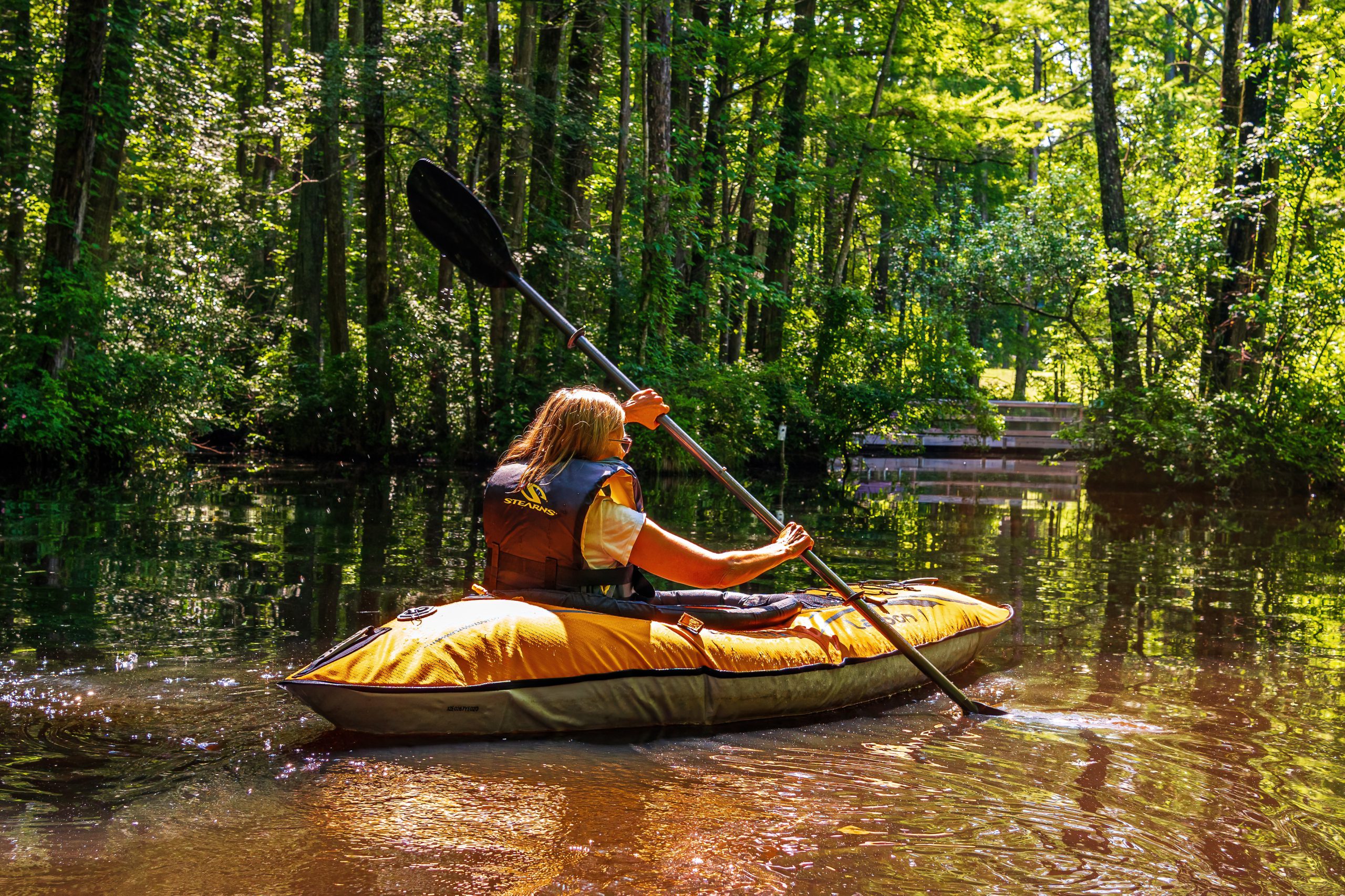
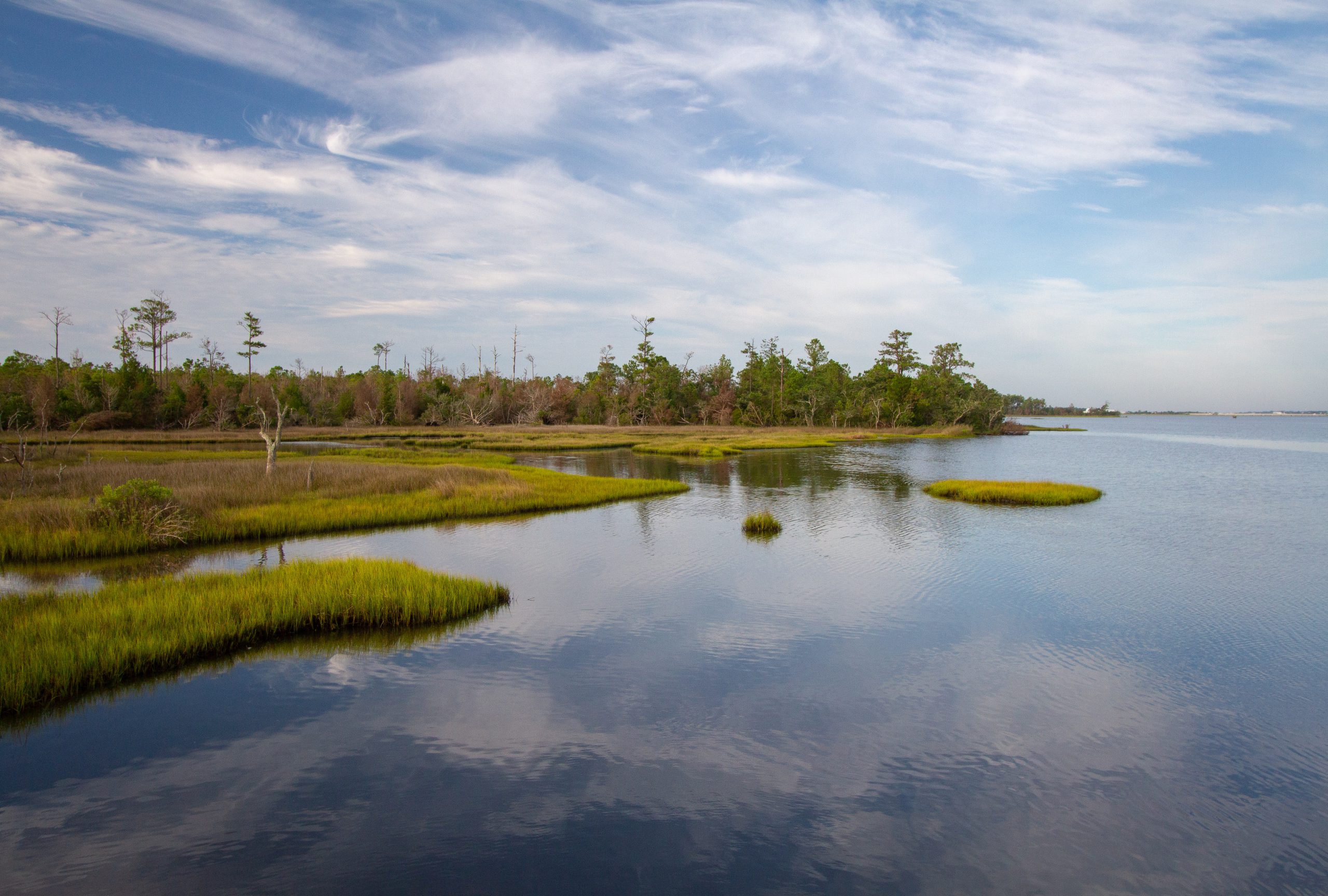
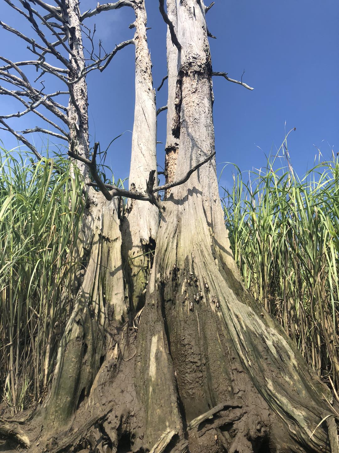
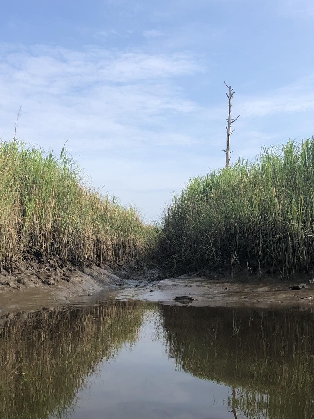
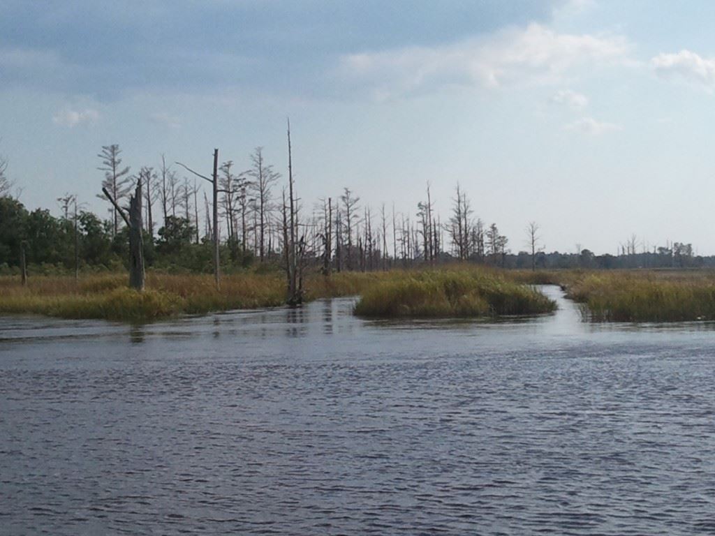
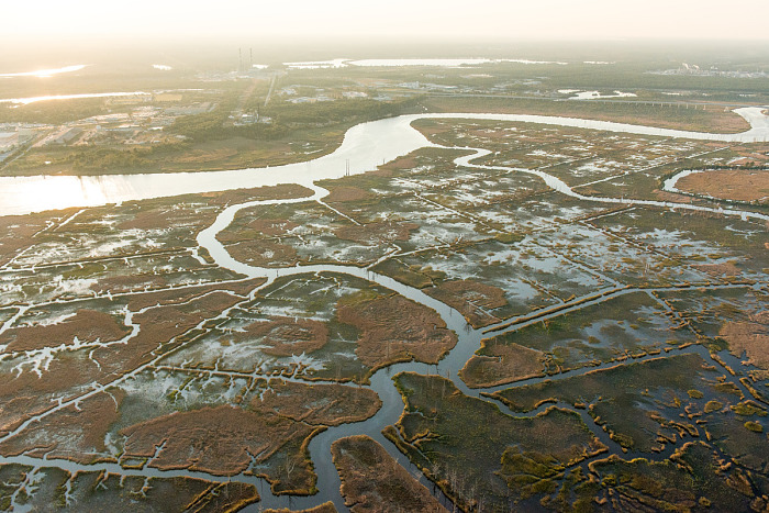
Located between the Brunswick and Cape Fear Rivers, Eagles Island is currently most easily explored by boat. With a 13-mile perimeter, five miles of navigable interior creeks, and countless remnant rice canals, paddling through the Eagles Island marshes provides unparalleled access to this unique ecosystem and the island’s historic artifacts. Many local outdoor adventure outfitters lead guided paddling tours around Eagles Island; the boat launches at Dram Tree Park and the Brunswick Riverwalk provide easy access for self-guided excursions. With nine additional paddle access points in the area, the island is centrally located to the surrounding communities through 73 miles of blueway trails and local tributaries. In addition, public access points along the Cape Fear River between Wilmington and Moncure, NC, afford paddle access to 187 miles of river with varying degrees of flat and whitewater conditions.
Formalizing the island’s existing blueway network with route names, maps, wayfinding signs, interpretive signage, and promotional material will help establish the public presence and identity of Eagles Island Nature Park. These interventions are relatively low cost and can be installed on creek-adjacent land presently owned by the New Hanover Soil & Water Conservation District or on privately owned land with a shared-use agreement. Additional improvements could include a public-access paddle launch and boat rental facility on Eagles Island (established through an agreement or partnership with a private landowner) and kayak-accessible platforms along paddle routes to provide destinations for resting, picnicking, camping, and exploring the island on foot.
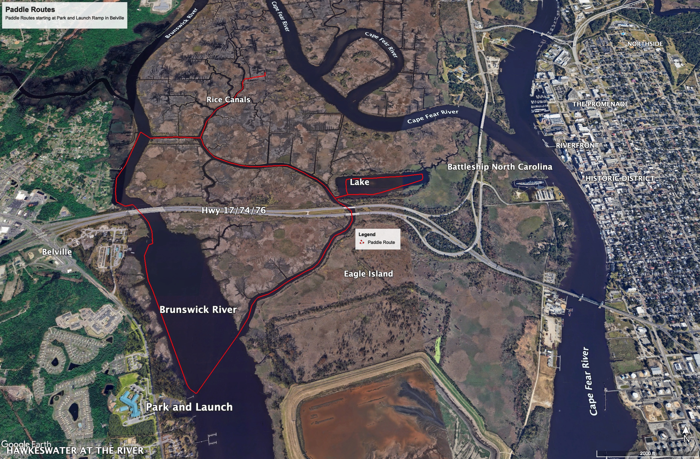
Eagles Island is open today for boating, kayaking, and canoeing. The map below illustrates various routes you can take starting at the Park and Launch ramp in Bellville. Click the buttons below for a video route tour.
