In 2006, Sami Kay Seeb, then a graduate student at East Carolina University, wrote “Cape Fear’s Forgotten Fleet: The Eagles Island Ships’ Graveyard” for her master’s thesis. It is extraordinarily well-researched and well-written and includes dozens of photos of wreck sites. Seeb ties the various wrecks to different periods in Eagles Island’s commercial history. Her work formed the basis of the Eagles Island Nature Park vision book, which reimagines the island with conservation, education, and recreation features.
Efforts to conserve Eagles Island have been ongoing since 2001 in various forms. The conservation initiatives began with the donation of a 52-acre tract to the New Hanover Soil & Water Conservation District. Following an environmental assessment that revealed the island’s significant ecological value, momentum grew to preserve Eagles Island as a natural area. Additional land was acquired through private donations and various funding sources. In order to describe the existing conditions on the island, the Land Management Group and Environmental Sciences, Inc. collaborated to compile existing ecological and historical research and conduct biological surveys. The resulting report, “Eagles Island: A History of a Landscape,” was published in 2011 and remains the most comprehensive source of information on Eagles Island.
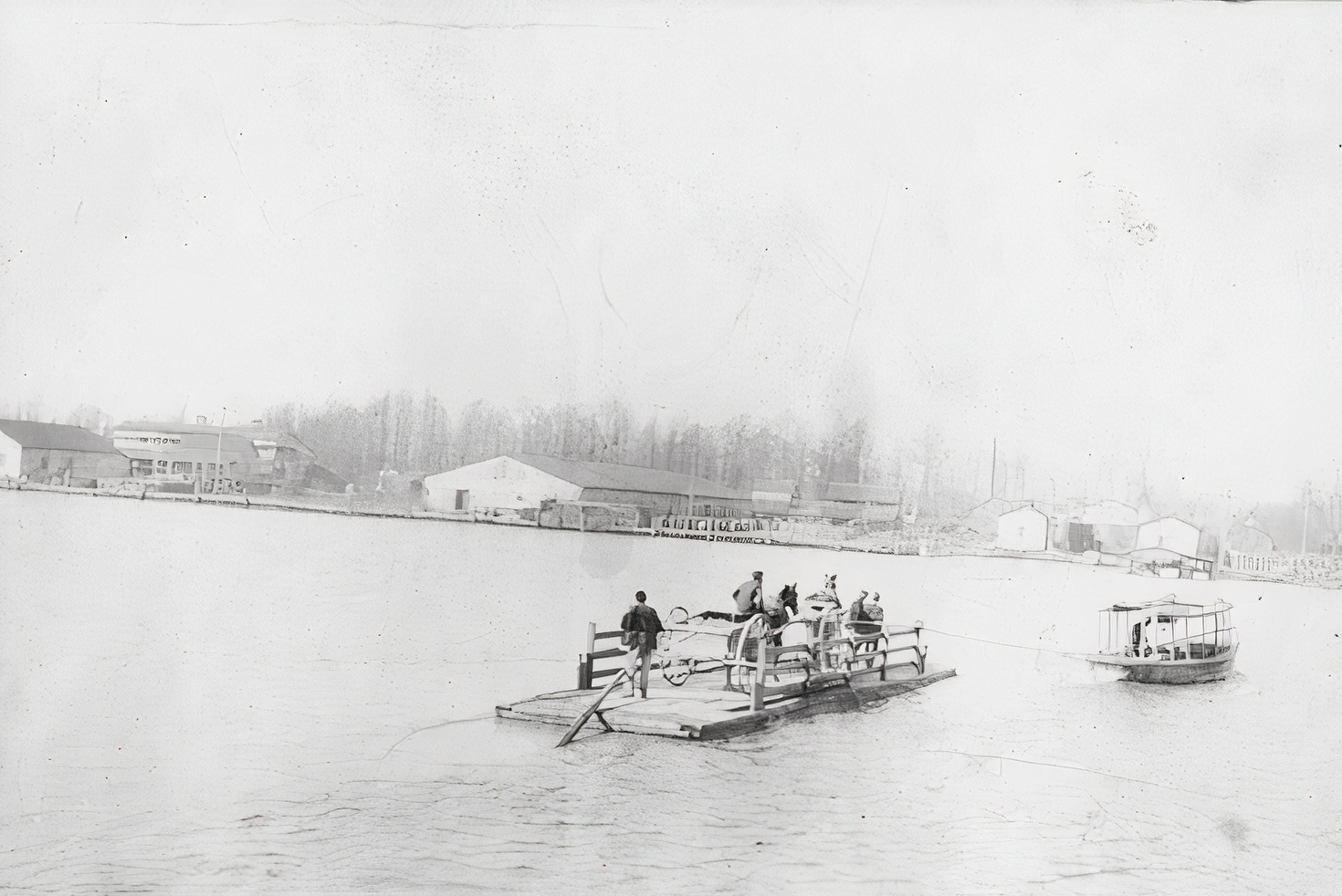
In June and July of 1983, the Underwater Archaeology Unit of the North Carolina Division of Archives and History spent two weeks documenting wrecked and abandoned vessels in the Wilmington Harbor. The resulting report, “Underwater Archaeological Sites in the Wilmington Historic District,” identified 37 shipwreck sites – 34 along the shoreline of Eagles Island, and three adjacent to the Wilmington waterfront. These sites represent a variety of vessels used on the Cape Fear River from the mid-nineteenth to the early twentieth century. The riverboats, tugboats, ferries, and barges, as a class of workboats, made significant contributions to the development and expansion of Wilmington.
In the fall of 1991, a group of eighth graders, led by teacher Charles Barker from the Pender County Academic Enrichment Program, and underwater archaeologists Richard Triebe and Mark Wilde-Ramsin from Fort Fisher, began an archaeological study to determine the identity of a wreck on Eagles Island. All that remained were the wooden ribs protruding from the mud on the shoreline near the Cape Fear Memorial Bridge. The team accomplished what previous research studies hadn’t: they identified the remains as the steamship Waccamaw. Further research by the students discovered that the Waccamaw began life in 1891 as the ferryboat Nuestra Señora de Regla, built to operate in Havana Harbor in Cuba. The details of how it came to rest in the mud flat on Eagles Island make for a fascinating story.
This is a pdf version of the printed Eagles Island Nature Park Vision Book.


